


Bouillouses - lac d'Esparver - Mont Llaret

cron
User
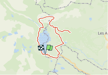

Length
16.8 km

Max alt
2367 m

Uphill gradient
678 m
Km-Effort
26 km

Min alt
1940 m

Downhill gradient
679 m
Boucle
Yes
Creation date :
2023-07-24 19:15:58.212
Updated on :
2023-07-24 19:17:16.59
5h52
Difficulty : Difficult

FREE GPS app for hiking
 SityTrail
IGN / Geographical institutes
SityTrail Plus
The world is yours!
About
Trail Walking of 16.8 km to be discovered at Occitania, Pyrénées-Orientales, Les Angles. This trail is proposed by cron.
Positioning
Country:
France
Region :
Occitania
Department/Province :
Pyrénées-Orientales
Municipality :
Les Angles
Location:
Unknown
Start:(Dec)
Start:(UTM)
418034 ; 4712400 (31T) N.
Comments